Drone Navigation without GNSS
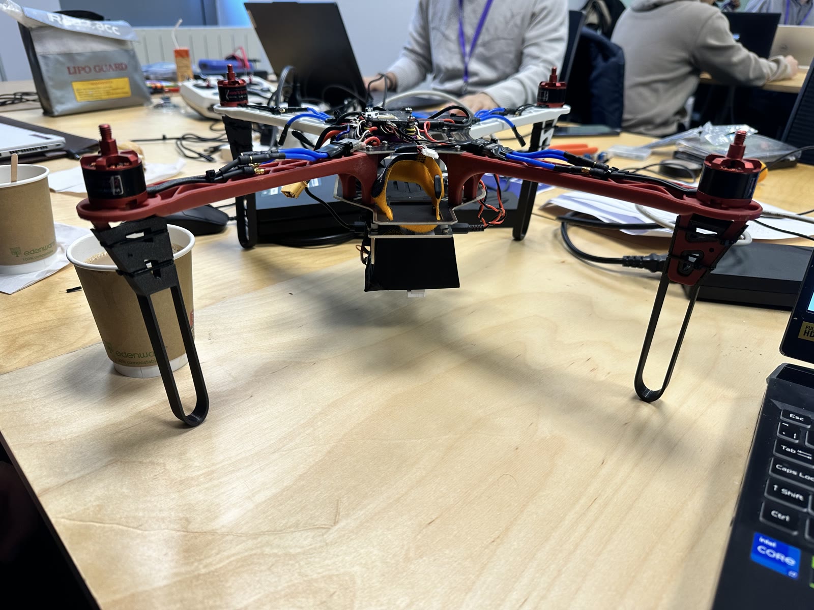
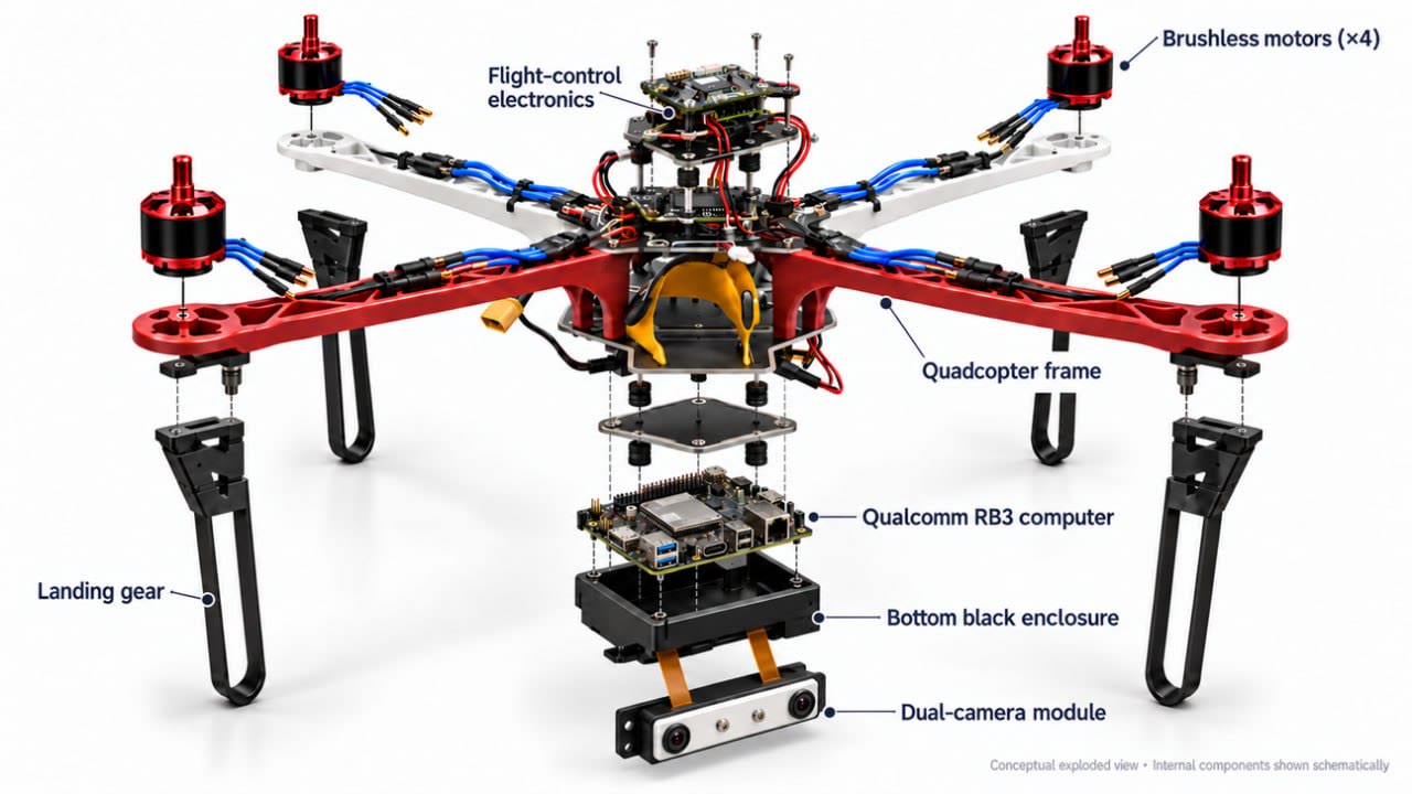
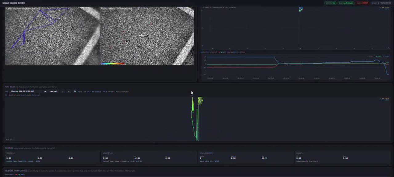
Our team reached the hackathon finals. I co-developed and simulated a stereo-vision navigation algorithm, validated navigation on real data at approximately 2% final position drift, and contributed to physical drone integration.
Objective: Estimate drone motion without GNSS by using stereo-vision information. The project explored how visual motion estimation and filtering could support navigation when satellite position information is unavailable.
My role: Algorithm co-development, simulation and drone integration. EUDIS Defence Hackathon Ireland · Team project.
My contribution: Co-developed and simulated the stereo-vision algorithm with the team. Combined optical flow, least squares estimation and Kalman filtering. Validated navigation on real data and contributed to physical drone integration.
Vision-based motion estimation: The algorithm combined stereo vision and optical flow to obtain information about motion, using least squares estimation as part of the navigation approach.
Filtering and evaluation: Kalman filtering formed part of the estimation pipeline. Navigation was evaluated on real data, with approximately 2% final position drift reported in the academic CV.
Team integration: Alongside algorithm work and simulation, I contributed to integration with a physical drone. This is distinct from claiming that the reported drift was measured during an autonomous flight.
Scope: The approximately 2% figure is reported for the real-data evaluation. The dataset, route length and percentage denominator still need to be specified before the metric can support comparisons with other systems. A fully autonomous flight result is not claimed.
Technologies
- Stereo vision
- Optical flow
- Least squares
- Kalman filtering